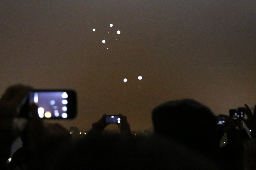
Already on sunday evening about 8000 balloons were released to mark the 25th anniversary of the fall of the Berlin Wall – one milestone of the reunification of East and West Germany.
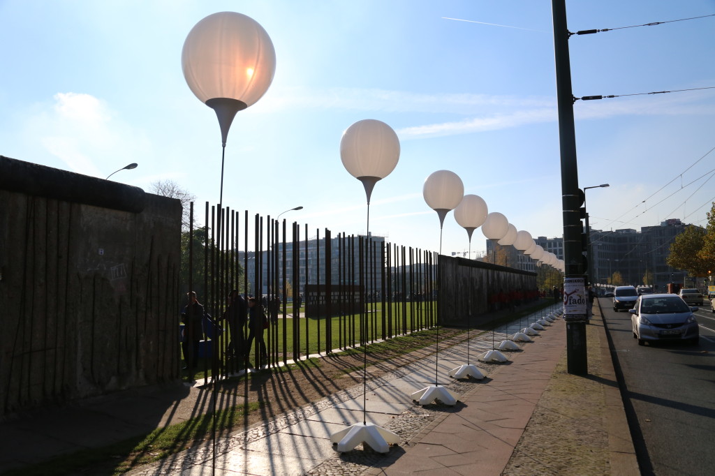
For three days a 15 km “border of light” (Lichtgrenze) symobilized the line where over 25 years ago the Berlin Wall divided the city in two. Walking along the row of illuminated balloons gave a great impression of how and where The Wall once was: across bridges, along streets, around Brandenburg Gate – right through Berlin’s heart.
Here’s some photos I took during the three days the Berlin border of light was up. More photos will follow hopefully rather soon over at bilderbook.

border of ligtht at Bernauer Street: Berlin Wall and balloons (© bilderbook/T.Bortels)

Balloons of the border of light beeing released at Mauerpark (© bilderbook/T.Bortels)
And here’s an amazing fast-forward walk (video by ChrisK) along the light border – all the way from Bösebrücke at Bornholmer Street down to Oberbaumbrücke btween in Kreuzberg and Friedrichshain:
And somebody drew the path of the Berlin Wall on a Google Map – in case you really want to know where the Berlin Wall once was standing between 1961 and 1989:
And here it is at Google Maps.
see also:
BBC: “8,000 balloons released to remember Berlin Wall” (photos)
www.bbc.co.uk/newsround/29984351

